Redevelopment Project for Rua Nossa Senhora de Fátima – Biscainho
Municipality of Coruche
Introduction
This article details the redevelopment project for Rua Nossa Senhora de Fátima, located in the parish of Biscainho, municipality of Coruche. The intervention, promoted by the Coruche City Hall, focuses on the rehabilitation of infrastructure and the paving of this street, which is part of a set of organized roads southwest of the municipality’s headquarters. The study was based on georeferenced topographic surveys and military cartography to ensure the accuracy of the solutions presented.
Context and Need
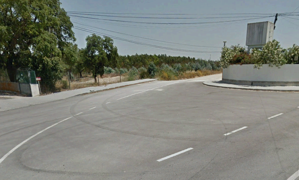
Currently, Rua Nossa Senhora de Fátima is unpaved, serving only as access to various plots of land scattered throughout the area. The street is characterized by the presence of perimeter walls and buildings that limit the available space, creating significant lateral restrictions.
The need for this project is related to the urgent need to provide the street with safe and comfortable circulation conditions for both vehicles and pedestrians. The absence of paving and the lack of organized pedestrian structures hinder the use of the street, making a solution essential that provides visual continuity to the layout and establishes accessible pedestrian paths, especially in areas with higher building concentration.
Summary of the Project Completed
The technical solution developed by Envisquantis adapted to existing constraints, prioritizing functionality and safety:
- Geometry and Layout: The project covers an extension of approximately 1,593 meters, connecting the EM 515 to the EN119 (IC3). The layout adapts to the existing road to respect threshold elevations, with the new grade situated between 15 cm and 20 cm above the current road surface. The base design speed was defined as 50 km/h.
- Cross-section and Pedestrian Profile: Implementation of a traffic lane with one lane in each direction. Elevated sidewalks were designed with preferred widths between 1.20 m and 1.50 m, adjusting to a minimum of 0.90 m in locations with greater space limitations.
- Pavement Structure: The roadway received a structure composed of a wearing course (4 cm), a tack course (6 cm), and a granular base (25 cm). For the sidewalks, concrete blocks (paving stones) were chosen over a sand and cement cushion.
- Stormwater Drainage: Study of transverse and longitudinal drainage, using triangular ditches (concrete or earth) and drains with metal grates in pedestrian areas. The system was designed for a 20-year return period.
- Signage and Safety: Horizontal signage plan with longitudinal (0.12 m) and vertical code markings (0.70 m in diameter), installed at a height of 2.20 m to ensure safety in urban areas.
- Earthworks: Plan for deforestation, stripping (0.2 m) and excavation works, with excavation slopes at a 1:1 inclination and fill slopes at 1:1.5.
With a vast portfolio of infrastructure and urban planning projects, Envisquantis ensures compliance with all technical and regulatory standards. We invite you to explore our complete portfolio to understand the depth of our work. Need specialized technical support for your project? Our team is available to collaborate on architectural and engineering solutions.
Discover how we can make your project a reality.
Get in touch with us and let’s create something extraordinary together.

ENVISQUANTIS, LDA
Links
Follow us on social media:
Copyright © 2025 Envisquantis, LDA