Urban Redevelopment Project for Caminho Senhor das Almas
Saint Sebastian of the Fair, Municipality of Oliveira do Hospital
Introduction
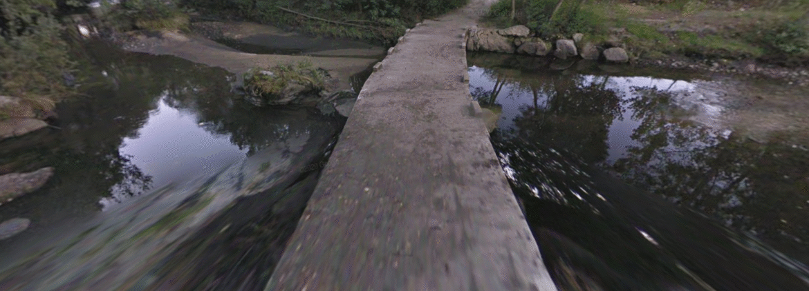
This article presents the Preliminary Study for the improvement of the Senhor das Almas / São Sebastião da Feira road, a relevant communication route in the municipal road network that ensures the connection to the town of São Sebastião da Feira. With an approximate length of 2170 meters, the project aims at the technical requalification of the infrastructure, supported by rigorous topographic surveys carried out using classic methods and connected to the national geodetic network.
Context and Need
The road is characterized by a particularly demanding mountain layout, presenting a difference in elevation of approximately 234 meters. This orography, marked by steep slopes and pronounced sinuosity, results in curves with very tight radii that are difficult to correct.
The need for intervention is based on the urgency of improving safety conditions for traffic. The preliminary diagnosis identified deficiencies in the state of conservation of the pavement, the stability of existing slopes, and the regularity of drainage systems. Due to the constraints imposed by the terrain, the project foresees attentive and moderate traffic, with the design being carried out, in several locations, with a base speed lower than the initially planned 40 km/h.
Summary of the Project Completed
The technical solution developed focused on enhancing the existing road layout through structured interventions in various specialties:
- Paving: A pavement structure was proposed for the main road consisting of a 6 cm bituminous concrete wearing course laid over a 20 cm base layer of coarse-grained aggregate (ABGE). This solution also extends to public and private service roads.
- Surface Drainage: The project included the maintenance and construction of culverts for transverse drainage. Marginal drainage is ensured by the slopes of the platform, directing water to concrete-lined ditches. These ditches have a specific geometry (1:4 on the shoulder side and 1:1 on the embankment side) to ensure effective evacuation to existing watercourses.
- Retaining Structures: Given the adverse topography, the study foresaw the use of concrete retaining walls and gabions to ensure the stability of the alignment.
- Safety Equipment: The safety plan includes easily interpretable horizontal and vertical signage (informative and code). Additionally, the installation of metal guardrails along the entire left side of the road was planned to mitigate the risks associated with the characteristics of the slopes.
- Accessibility: All services affected by the straightening of the route will be rebuilt to ensure adequate visibility and vehicle access, integrating effective drainage systems.
Highly Complex Technical Solutions
With a vast portfolio of infrastructure and urban planning projects, Envisquantis ensures compliance with all technical and regulatory standards. We invite you to explore our complete portfolio to understand the depth of our work.
Need specialized technical support for your project? Our team is available to collaborate on exceptional quality architectural and engineering solutions. Contact us.
Discover how we can make your project a reality.
Get in touch with us and let’s create something extraordinary together.
ENVISQUANTIS, LDA
Links
Follow us on social media:
Copyright © 2025 Envisquantis, LDA