Circular Bypass to Ílhavo – Phase 4 (East side of the Boco River)
Municipality of Ílhavo
Introduction
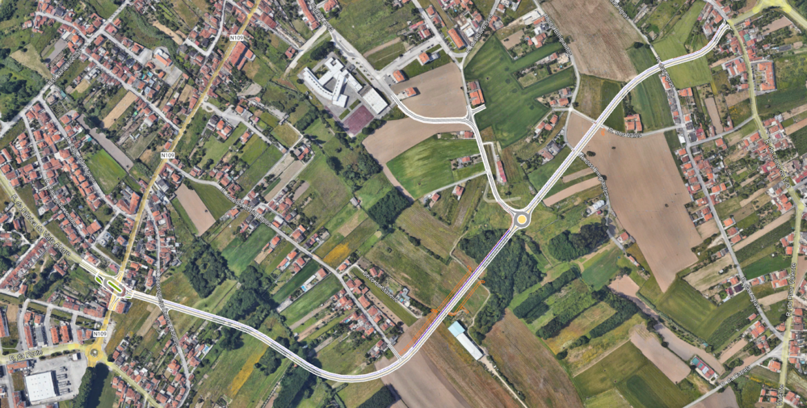
This article details the Preliminary Study developed for the 4th Phase of the Ílhavo Ring Road, a strategic road infrastructure located in the parish of São Salvador. The project focuses on the creation of a new road axis approximately 1,675 meters long, establishing a vital link between the EN109 (Rua da Fábrica da Vista Alegre) and Rua de Cimo de Vila. The study, elaborated with precision cartographic and topographic methods, defines the geometric and technical guidelines necessary for the modernization of the local road network.
Context and Need
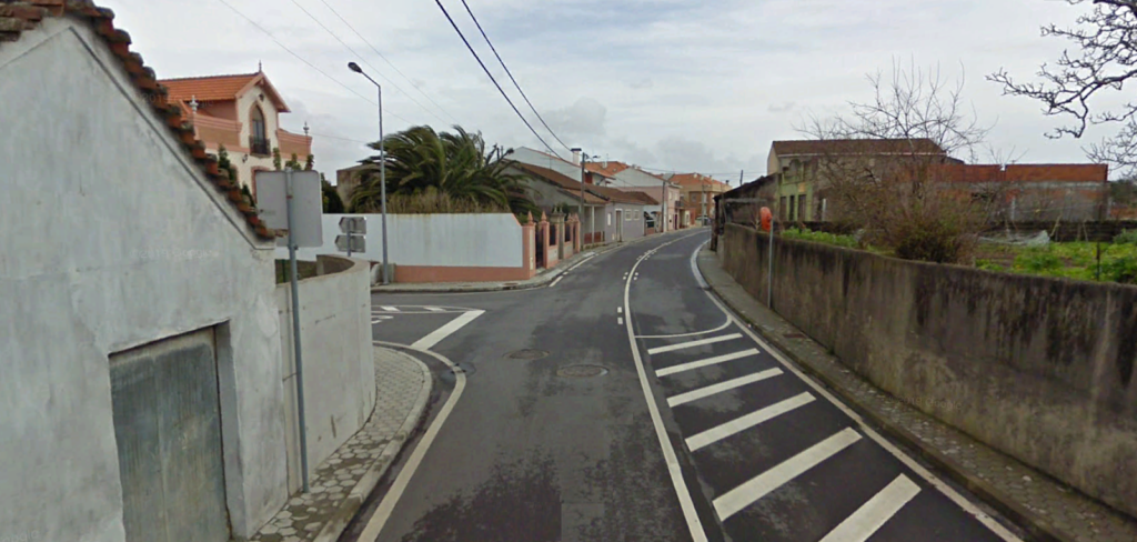
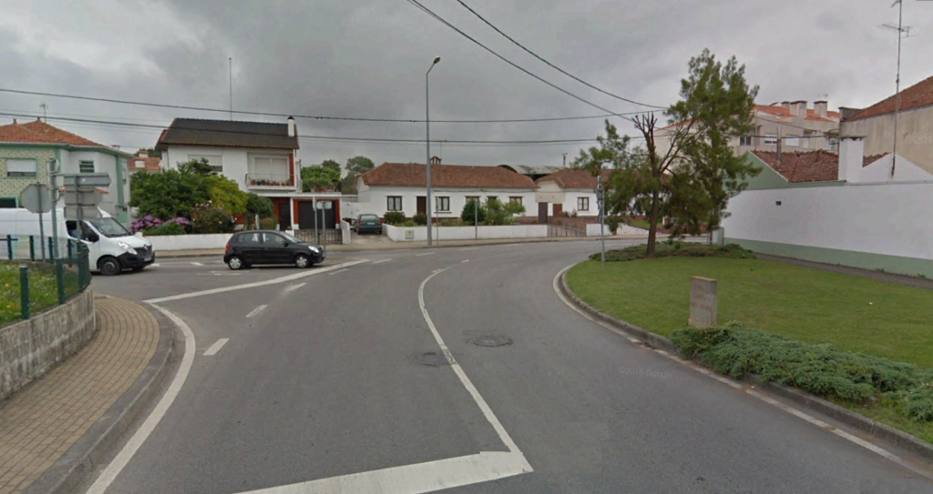
The intervention zone is characterized by a mixed occupation of agricultural land and residential areas. The implementation of this 4th phase arises from the need to create a more direct and fluid alternative circulation route, diverting traffic from the urban center and improving road safety conditions.
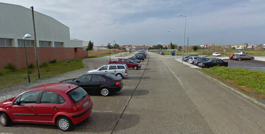
One of the critical points identified was access to the José Ferreira Pinto Basto Basic School 2,3. To address this need, the project included the design of a secondary axis 415 meters long, specifically designed to optimize school traffic flow and ensure a safe connection between the new bypass and Gabriel Ançã Street.
Summary of the Project Completed
The solution adopted by Envisquantis focuses on the integration between automotive efficiency and soft mobility, presenting the following technical characteristics:
- Main Axis Geometry: Design of a two-lane roadway (one lane in each direction), each 4.00 meters wide (3.00m roadway + 1.00m shoulder), separated by a 2.00-meter central reservation.
- Soft Mobility: Inclusion of a 2.00-meter-wide bidirectional cycle path on the north side of the bypass, separated from the roadway by a 1.80-meter ditch, promoting the safe use of bicycles.
- Road Junctions and Intersections: Design of two roundabouts. The first, an elongated roundabout on the EN109, and the second, a circular roundabout with an external diameter of 38.00 meters to connect with Rua Gabriel Ançã and Rua dos Sucessos.
- Longitudinal Profile: Definition of a contour line that follows the natural orography of the terrain, with slopes between 0.50% and 3.00%, aiming to minimize the volume of earthworks and ensure smooth connections with existing streets (Rua dos Emigrantes, Rua dos Vales, among others).
- Design Speed: Set at 50 km/h, appropriate to the nature of the area and the proposed new geometry.
Discover Our Portfolio
At Envisquantis, we design infrastructure that safely and forward-thinkingly connects communities. We invite you to explore other engineering and urban planning projects that demonstrate our commitment to feasibility and technical rigor. Are you planning road or urban infrastructure? Our multi-skilled team ensures integrated solutions from preliminary study to execution. Contact us to develop your next project together.
Discover how we can make your project a reality.
Get in touch with us and let’s create something extraordinary together.
ENVISQUANTIS, LDA
Links
Follow us on social media:
Copyright © 2025 Envisquantis, LDA